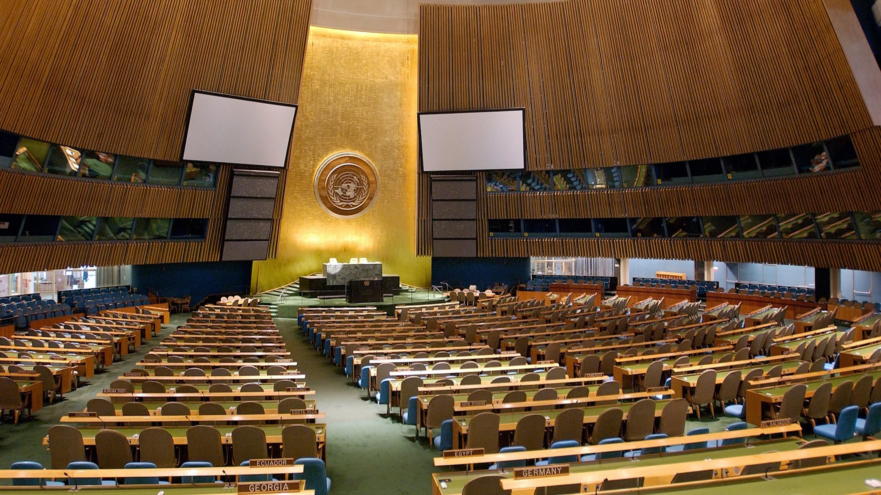
The United Nations General Assembly has overwhelmingly backed a new approach to world maps designed to better reflect the true relative sizes of countries and continents, in a landmark move led by African nations.
The resolution, spearheaded by Togo on behalf of the African Union, was approved on Friday, September 4, 2026, with 164 countries voting in favour, one against and six abstaining. The United States was the only country to vote against the resolution.
The initiative, known as “Correct the Map,” challenges the continued dominance of the centuries-old Mercator projection, which significantly distorts the apparent size of regions located farther from the Equator.
Why the world map is changing
The Mercator projection was developed by Flemish cartographer Gerardus Mercator in 1569 and remains widely used, particularly for navigation.
While the projection is useful for maritime navigation because it preserves angles and directions, it does not accurately represent the relative surface areas of countries and continents.
As a result, countries and territories close to the North and South Poles appear much larger than they actually are.
One of the most striking examples is Greenland and Africa.
On many familiar Mercator maps, Greenland can appear comparable in size to Africa. In reality, Africa is approximately 14 times larger than Greenland.
The distortion also makes Europe, North America and other northern regions appear disproportionately large compared with Africa, Latin America and parts of Asia.
Africa leads global push to “correct the map”
The campaign has been strongly driven by African countries, with Togo taking the issue to the United Nations on behalf of the African Union.
African advocates argue that maps are not simply geographical tools but also influence how people perceive the importance, size and potential of different parts of the world.
Togolese Foreign Minister Robert Dussey has argued that a fairer understanding of the world should begin with a fairer representation of its geography.
The campaign has received the backing of all African Union member states, making the UN vote an important diplomatic moment for Africa's efforts to challenge long-standing global perceptions.
What is the Equal Earth projection?
The resolution promotes greater use of equal-area map projections, particularly the Equal Earth projection, which was introduced in 2018.
Unlike Mercator, Equal Earth is designed to preserve the relative surface areas of countries and continents more accurately.
On an Equal Earth map, Africa appears dramatically larger relative to Europe and Greenland, while Greenland becomes much smaller than it appears on the traditional Mercator map.
The projection does not claim that every geographic feature can be displayed perfectly. Any attempt to represent the curved surface of the Earth on a flat map requires some compromise involving shape, distance, direction or area.
The key difference is that Equal Earth prioritises accurate relative area.
Will Google Maps and schools immediately change?
Not necessarily.
The UN resolution is non-binding, meaning it does not legally force governments, schools, technology companies or mapping platforms to immediately abandon the Mercator projection.
Instead, it encourages institutions, educators and technology companies to consider more accurate representations of global geography.
The resolution could nevertheless have a significant influence on school textbooks, educational materials, media graphics and digital mapping tools around the world.
France also moves away from Mercator
The UN vote came as France announced that it would abandon the traditional Mercator projection in favour of a map projection that provides a more balanced representation of global land areas.
French Foreign Minister Jean-Noël Barrot said distortions in conventional maps can influence perceptions of different regions of the world.
The development suggests that the debate over how the world is visually represented could extend beyond the United Nations and into national education systems and international institutions.
What the new map means for Africa
For Africa, the change has significance beyond cartography.
The continent covers about 30 million square kilometres, making it vastly larger than its appearance on many commonly used world maps suggests.
Supporters of the campaign argue that accurately displaying Africa's size could help challenge misconceptions about the continent's geography, economic potential and global importance.
The debate also comes at a time when African countries are increasingly pushing for greater representation and influence in international institutions.
A symbolic victory, but not the end of the debate
The UN vote does not mean the Mercator map has been banned.
Instead, it represents a major endorsement of the principle that maps used to educate and inform the public should avoid unnecessary distortions of the relative size of the world's regions.
With 164 nations backing the resolution, the vote gives significant international momentum to the “Correct the Map” campaign.
For many African countries, however, the significance goes beyond geography.
It is about ensuring that when the world looks at a map, Africa is seen at its true scale.
Key Facts
- UN vote: 164 in favour, 1 against, 6 abstentions.
- Resolution: “Correct the Map.”
- Main campaign leader: Togo, backed by the African Union.
- Traditional projection: Mercator.
- Alternative highlighted: Equal Earth.
- Africa's size compared with Greenland: Africa is roughly 14 times larger.
- UN resolution: Non-binding.
- Main objective: Encourage more accurate representations of countries' and continents' relative surface areas.

Comments (0)
No comments yet.
Only registered users can comment.
Sign in or create a free account to join the discussion.